Santa Nella, CA.
Santa Nella is the central California halfway point on Interstate 5 and the gateway to the CA-152 / Pacheco Pass route between the Central Valley and the South Bay Area. The intersection makes Santa Nella one of the most reliable mid-state fueling, repair, and overnight stops between the Grapevine and Stockton. CA-152 east-west traffic adds Bay Area-bound produce hauls to the year-round I-5 north-south flow, and the surrounding agricultural belt sends almonds, dairy, and tomato outbound through the same corridor.
Every roadside service we run in Santa Nella
Featured Santa Nella Service Providers
Insurance-current network rescuers with verified compliance, equipment, and live availability status.
Santa Nella CA Freight Corridors & Interstate Service Coverage
Each corridor has a dedicated breakdown landing page with service zones, exits, and recent dispatched jobs.
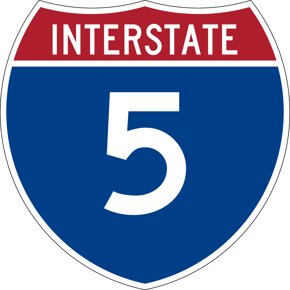
Interstate 5
3 exits in Santa Nella
The Pacific Coast freight spine through the Central Valley. Santa Nella's I-5 segment includes Exit 407A (CA-152) and Exit 407B (CA-33). Highest mid-state truck volume of any stop between Buttonwillow and Stockton.
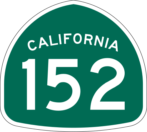
California State Route 152
2 exits in Santa Nella
East-west Pacheco Pass corridor from Santa Nella through the San Luis Reservoir to Gilroy and US-101. Heavy daily produce and Bay Area-bound freight, brake-burning descent westbound.
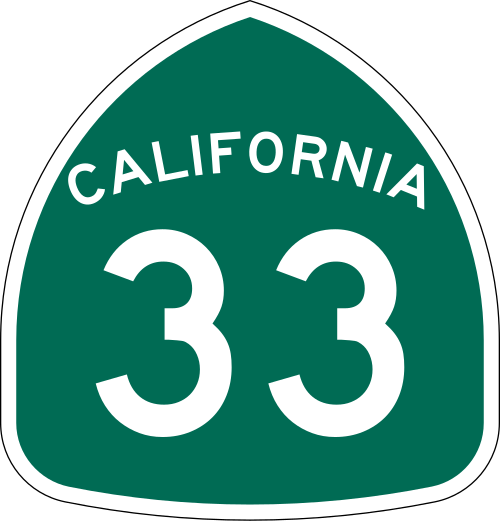
California State Route 33
2 exits in Santa Nella
Local north-south route through the central agricultural belt connecting Santa Nella to Newman, Patterson, and the Tracy Triangle. Carries agricultural and dairy freight away from I-5.
Santa Nella CA Trucking & Freight Industry Overview
Santa Nella is the central California halfway point on Interstate 5 and the gateway to the CA-152 / Pacheco Pass route between the Central Valley and the South Bay Area. The intersection makes Santa Nella one of the most reliable mid-state fueling, repair, and overnight stops between the Grapevine and Stockton. CA-152 east-west traffic adds Bay Area-bound produce hauls to the year-round I-5 north-south flow, and the surrounding agricultural belt sends almonds, dairy, and tomato outbound through the same corridor.
Santa Nella is an unincorporated area and census-designated place (CDP) in Merced County, California, United States. It is located 10 miles (16 km) west-northwest of Los Banos at an elevation of 154 feet (47 m). As of the 2020 census, Santa Nella had a population of 2,211, up from 1,380 at the 2010 census.
Santa Nella's identity is the I-5 / CA-152 junction. Every truck moving between LA and Sacramento on I-5 passes through, and every truck moving between the South Bay and the Central Valley on the Pacheco Pass uses the same exits to stage, fuel, and break. The result is one of the most consistent truck-traffic volumes between Buttonwillow and Stockton, with a Pilot, Petro, and a Rotten Robbie all clustered within a quarter mile at Exit 407A. Road Rescue Network treats Santa Nella as a primary dispatch node for the entire central San Joaquin freight corridor.
CA-152 east-west adds a distinct breakdown pattern. The Pacheco Pass climb west of Santa Nella toward Gilroy and the San Luis Reservoir burns brakes on the descent and overworks cooling systems on the climb. Our local mechanics know which chassis types come over the pass with marginal cooling, and which fleets routinely hit Santa Nella with brake-fade or brake-smoke calls. Stocking patterns match those observations rather than generic Central Valley assumptions.
Whether you are a fleet manager dispatching from the Bay Area with a load stranded at the Pacheco summit, or an owner-operator running I-5 northbound from Buttonwillow at 3am, the closest verified, insurance-current rescuer in our Santa Nella network is reached through a single phone call or service request. Dispatch and ETA confirmation are handled by our 24/7 operations team.