Napa, CA.
Napa sits at the SR-29 / SR-12 / SR-121 hub at the southern entry to the Napa Valley wine country, the freight crossroads serving over 400 wineries and the dense agricultural-and-tourism economy that drives the region. Wine outbound to distributors across the country, glass-and-cork inbound from Bay Area suppliers, restaurant-and-resort food-service freight, and seasonal grape-harvest hauls combine to make this one of the most concentrated agricultural-tourism freight zones in California. Add marine fog from the San Pablo Bay, summer 100°F+ temperatures, and the constant wildfire-smoke risk September through November, and you get a freight profile defined by climate volatility.
Every roadside service we run in Napa
Featured Napa Service Providers
Insurance-current network rescuers with verified compliance, equipment, and live availability status.
Wine Country Mobile Truck Repair
- 24/7 dispatch
- Fleet of 8
- 17 years in business
- Insurance verified
Valley Vine Commercial Tire
- 24/7 dispatch
- Fleet of 6
- 14 years in business
- Insurance verified
Silverado Trail Coach & RV Mobile
- 24/7 dispatch
- Fleet of 6
- 13 years in business
- Insurance verified
Napa CA Freight Corridors & Interstate Service Coverage
Each corridor has a dedicated breakdown landing page with service zones, exits, and recent dispatched jobs.
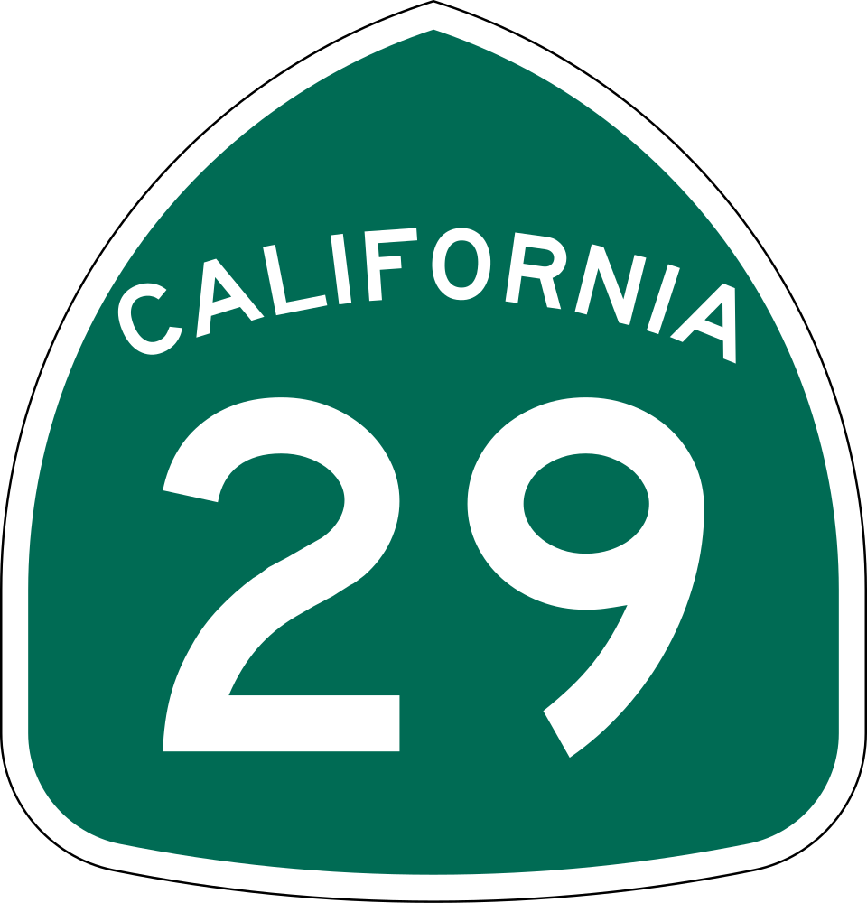
California State Route 29
6 exits in Napa
The St. Helena Highway, the spine of the Napa Valley between American Canyon and Calistoga. Heavy wine-country freight and tourism traffic; service calls cluster between the SR-12 interchange in south Napa and the Yountville and Oakville stretches.
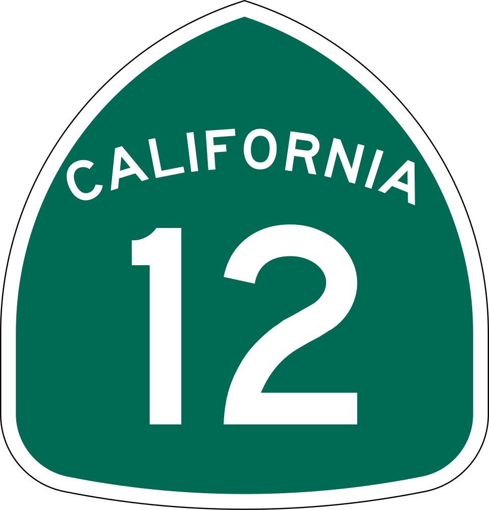
California State Route 12
5 exits in Napa
East-west route from Napa through American Canyon and Fairfield toward I-80, the primary truck route between the Napa Valley and the Sacramento corridor. Heavy commercial truckloads; calls cluster at the SR-29 / SR-12 interchange and the Cordelia Junction.
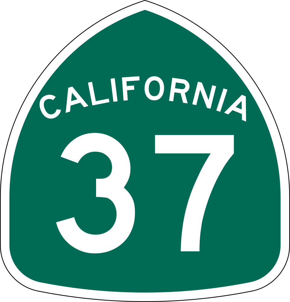
California State Route 37
3 exits in Napa
East-west route across the San Pablo Bay marshland between Vallejo and Novato. Frequent flood-related closures during heavy rain; primary alternative for trucks routing between Napa and the North Bay.
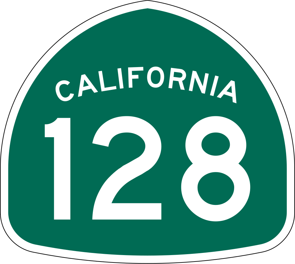
California State Route 128
4 exits in Napa
Scenic east-west route through the Napa Valley toward Lake Berryessa and Davis. Tight curves and steep grades through the Conn Valley; primary winching and recovery corridor during fall harvest grape-truck runs.
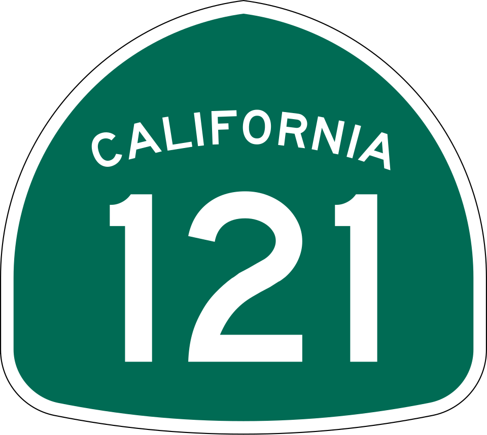
California State Route 121
4 exits in Napa
Route from Napa through Sonoma and toward Petaluma, the cross-county wine corridor. Heavy seasonal grape and bottle-glass freight; the Carneros stretch is a primary tourism RV calls zone in spring and summer.
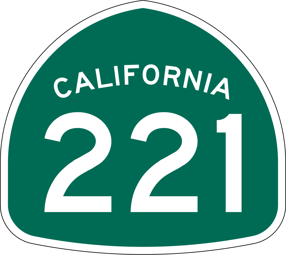
California State Route 221
3 exits in Napa
The Napa Vallejo Highway, a 4-mile spur connecting Napa to SR-29 / SR-12 south of the airport. Heavy short-haul commercial and the busiest service-call corridor in south Napa city.
Napa CA Trucking & Freight Industry Overview
Napa sits at the SR-29 / SR-12 / SR-121 hub at the southern entry to the Napa Valley wine country, the freight crossroads serving over 400 wineries and the dense agricultural-and-tourism economy that drives the region. Wine outbound to distributors across the country, glass-and-cork inbound from Bay Area suppliers, restaurant-and-resort food-service freight, and seasonal grape-harvest hauls combine to make this one of the most concentrated agricultural-tourism freight zones in California. Add marine fog from the San Pablo Bay, summer 100°F+ temperatures, and the constant wildfire-smoke risk September through November, and you get a freight profile defined by climate volatility.
Napa is the largest city in and the county seat of Napa County and a principal city of Wine Country in Northern California, United States. Located in the North Bay region of the Bay Area, the city had a population of 76,921 as of the July, 2024. Napa is a major tourist destination in California, known for its wineries, restaurants, and arts culture.
Napa's freight economy runs on a tight rhythm: glass and cork in, finished wine out, and a constant stream of resort and restaurant freight feeding the region's tourism economy. When a Class 8 truck breaks down on SR-29 north of town in September wildfire-smoke conditions, the breakdown is high-stakes, low-shoulder, and time-critical against the harvest-window cascade. Road Rescue Network's Napa rescuers run wildfire-season protocols August through November and stage units at the SR-29 / SR-12 interchange so they can dispatch fast in either direction.
The mechanics in Napa who handle heavy-duty calls cut their teeth on wine-country agricultural fleets, resort-area food-service trucks, glass-and-bottle inbound, and the constant temperature swings between marine-cool mornings and afternoon 100°F summer heat. Our local network is built around shops that work this terrain every day, stock parts for the older Freightliners running grape gondolas in fall, and have direct relationships with CHP for wildfire-evacuation protocol on SR-29 and SR-128.
Whether you are a fleet manager dispatching wine outbound from the Constellation or Treasury distribution warehouses, an owner-operator running grape gondolas during October crush, or an OTR carrier whose driver got caught in a wildfire-evacuation closure, the closest verified Road Rescue Network rescuer is reached through a single phone call. Coordination with CHP and Caltrans on closure status, ETA confirmation during fog or wildfire events, and direct fleet billing are handled by our 24/7 operations team.