Santa Cruz, CA.
Santa Cruz sits at the northern edge of Monterey Bay where SR-17 drops out of the Santa Cruz Mountains and meets the SR-1 Pacific Coast Highway, the only freight crossing between Silicon Valley and the Monterey Peninsula. The city's freight identity is split three ways: agricultural reefers from Watsonville (strawberries, raspberries, leafy greens), tech-supplier deliveries to UCSC and Plantronics campuses, and beach-resort tourist surge weekends that double the local truck count. Marine fog burns off mid-morning most days but rolls back over SR-17 by afternoon, taking visibility to a quarter mile through the redwoods between Scotts Valley and Los Gatos.
Every roadside service we run in Santa Cruz
Featured Santa Cruz Service Providers
Insurance-current network rescuers with verified compliance, equipment, and live availability status.
Santa Cruz CA Freight Corridors & Interstate Service Coverage
Each corridor has a dedicated breakdown landing page with service zones, exits, and recent dispatched jobs.
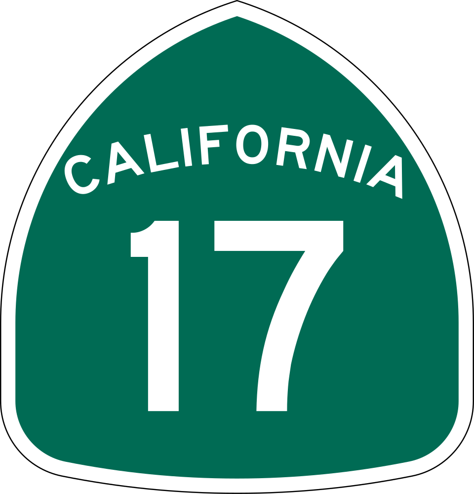
SR-17 (Santa Cruz Highway)
6 exits in Santa Cruz
The mountain freeway over Patchen Pass connecting San Jose and Silicon Valley to Santa Cruz. The eastbound climb out of Scotts Valley toward the summit is the most-frequented breakdown zone in the county — brake fade, cooling failures, and marine-fog visibility incidents make up the bulk of calls.
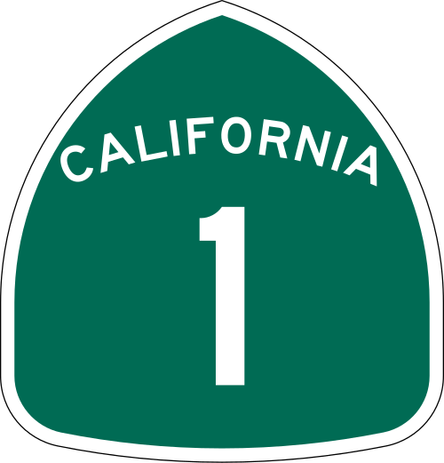
SR-1 (Cabrillo Highway / Pacific Coast Highway)
8 exits in Santa Cruz
The Pacific Coast Highway running north-south along Monterey Bay. Carries Watsonville agricultural reefers north and beach-resort traffic south; common breakdown zones at the Soquel Drive merge and the SR-9 / Mission Street junction in the city.
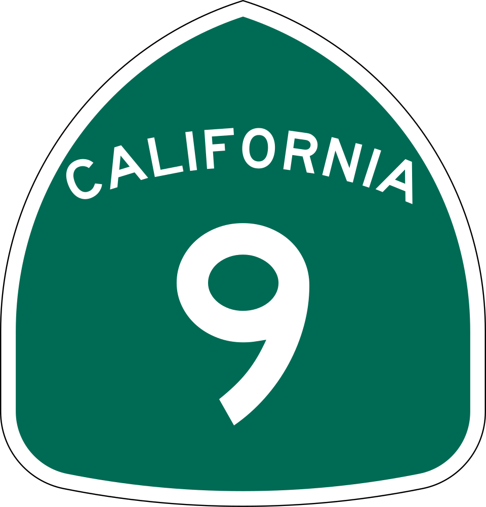
SR-9 (Big Basin Way)
4 exits in Santa Cruz
The mountain alternate to SR-17 running through Felton, Boulder Creek, and Saratoga. Narrow redwood-lined two-lane, prone to closure for fallen trees in winter storms, and the only out-of-mountains route when SR-17 closes for an accident.
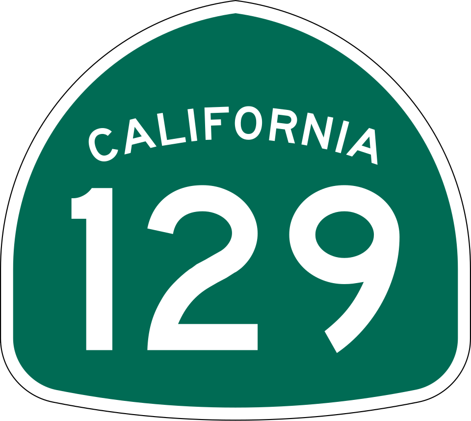
SR-129 (Riverside Drive)
3 exits in Santa Cruz
East-west connector between SR-1 in Watsonville and US-101 at Chittenden, the inland route for Pajaro Valley agricultural freight to Salinas and the I-5 corridor.
SR-152 (Hecker Pass)
4 exits in Santa Cruz
Hecker Pass east from Watsonville to Gilroy and US-101. Carries garlic and produce freight from the Salinas Valley back to Bay Area markets; the Watsonville-to-Hecker grade is a brake-cooling hot spot.
SR-236 (Big Basin Way)
2 exits in Santa Cruz
The Big Basin Redwoods State Park access route from SR-9 in Boulder Creek. Closed regularly for winter storm damage and post-CZU-fire recovery; carries forestry, parks-service, and recreation freight.
Santa Cruz CA Trucking & Freight Industry Overview
Santa Cruz sits at the northern edge of Monterey Bay where SR-17 drops out of the Santa Cruz Mountains and meets the SR-1 Pacific Coast Highway, the only freight crossing between Silicon Valley and the Monterey Peninsula. The city's freight identity is split three ways: agricultural reefers from Watsonville (strawberries, raspberries, leafy greens), tech-supplier deliveries to UCSC and Plantronics campuses, and beach-resort tourist surge weekends that double the local truck count. Marine fog burns off mid-morning most days but rolls back over SR-17 by afternoon, taking visibility to a quarter mile through the redwoods between Scotts Valley and Los Gatos.
Santa Cruz is the largest city in and the county seat of Santa Cruz County, California. As of the 2020 census, the city population was 62,956. Situated on the northern edge of Monterey Bay, Santa Cruz is a popular tourist destination, owing to its beaches, surf culture, and historic landmarks.
Santa Cruz sits at the convergence of SR-17 and SR-1 — the freight pinch point between Silicon Valley over the hill and the agricultural belt of the Pajaro Valley to the south. Road Rescue Network's Santa Cruz rescuers stage along the Soquel Drive corridor and the Watsonville agricultural-warehouse cluster, with average dispatch-to-arrival times tuned for the steep climb out of town and the marine-fog visibility that can shut down SR-17 for an afternoon at a time.
Anyone who's dispatched a truck through Patchen Pass in marine fog knows the call: a Class 8 in the right lane, hazard flashers blinking through gray, and the eastbound climb backed up to the redwoods at Glenwood. Our Santa Cruz mechanics work this corridor every day. They carry coolant, brake-cooling water, and serpentine belts as standard inventory because the SR-17 grade exposes every weakness — uphill or down.
Whether you're a fleet manager dispatching from Salinas with a Driscoll's reefer stranded at the SR-1 / SR-129 split, or an owner-operator on SR-17 climbing out of Scotts Valley toward Los Gatos in fog at 2 a.m., the closest verified, insurance-current rescuer in our Santa Cruz network is reached through a single phone call. Coordination, dispatch, and ETA confirmation are handled by Road Rescue Network's 24/7 operations team — not voicemail and not a national call center.