Idaho Falls, ID.
Idaho Falls is the freight pivot of the Eastern Snake River Plain — Idaho's potato, sugar beet, and seed-grain belt — and the supply gateway to Idaho National Laboratory's 890-square-mile nuclear research complex. I-15 carries the Salt Lake City-to-Butte transcontinental corridor directly through the city, while US-20 funnels Yellowstone-bound tourist freight east toward West Yellowstone and the gateway communities. Winter ice on I-15 between Pocatello and Idaho Falls drops the freight clock to a crawl from late November through March, summer afternoons clear 95°F, and INL contractor freight runs to security-classified schedules.
Every roadside service we run in Idaho Falls
Featured Idaho Falls Service Providers
Insurance-current network rescuers with verified compliance, equipment, and live availability status.
Idaho Falls ID Freight Corridors & Interstate Service Coverage
Each corridor has a dedicated breakdown landing page with service zones, exits, and recent dispatched jobs.
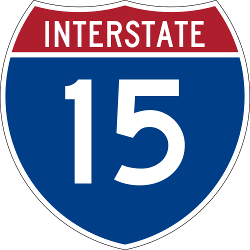
Interstate 15
6 exits in Idaho Falls
The Salt Lake City-to-Butte transcontinental corridor and Idaho Falls' main north-south freight artery. Heavy reefer and ag-input traffic year-round; common winter ice-storm clusters at the Roberts and Hamer exits between Idaho Falls and the Montana state line.

US Route 20
5 exits in Idaho Falls
The east-west corridor connecting Idaho Falls to West Yellowstone and Boise. Carries summer Yellowstone tourist freight east, INL contractor traffic west to the desert site (Atomic City and the EBR-1 turnoff), and seed-potato outbound year-round.
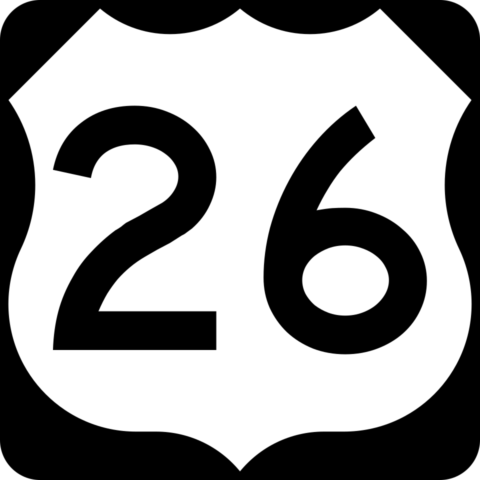
US Route 26
3 exits in Idaho Falls
Connects Idaho Falls east to Jackson Hole, Wyoming and Grand Teton National Park. Heavy summer tourist freight including hotel-supply reefers and gas-tanker convoys headed for the Jackson Hole gateway.
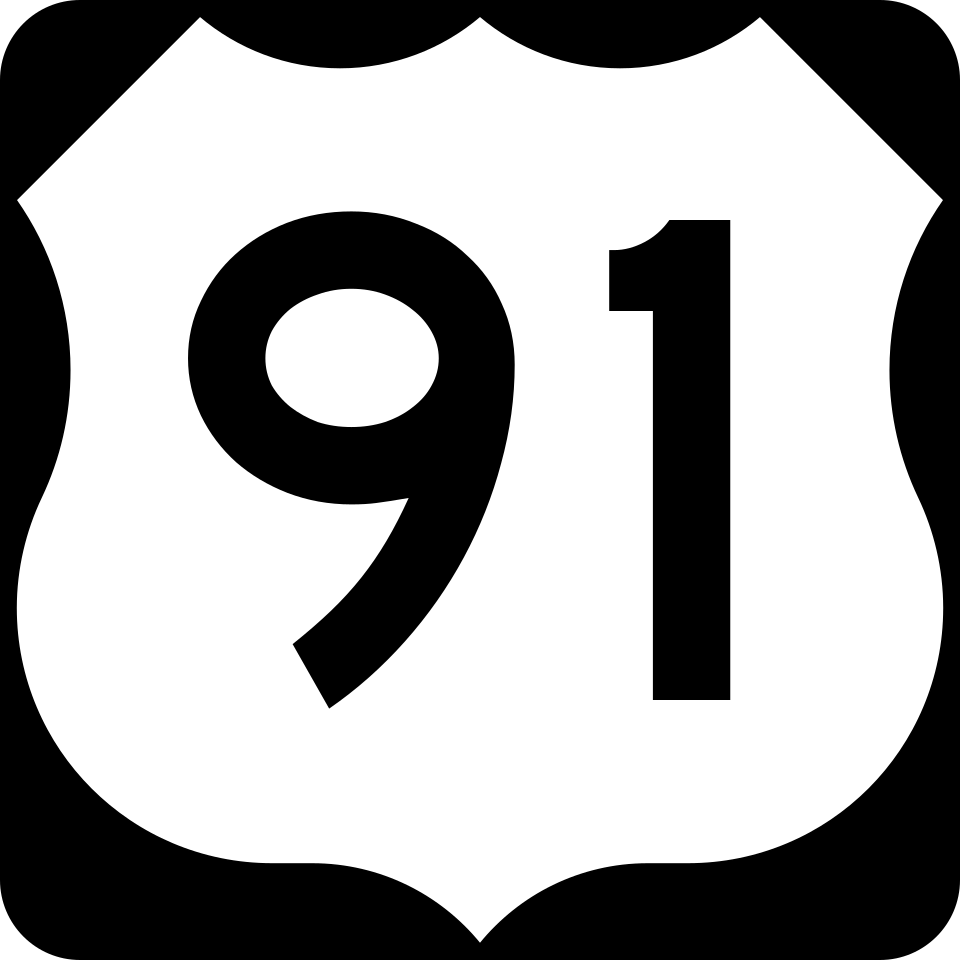
US Route 91
4 exits in Idaho Falls
Local north-south arterial through Idaho Falls connecting to Pocatello and Salt Lake City. Important secondary route during I-15 weather closures north of the city.
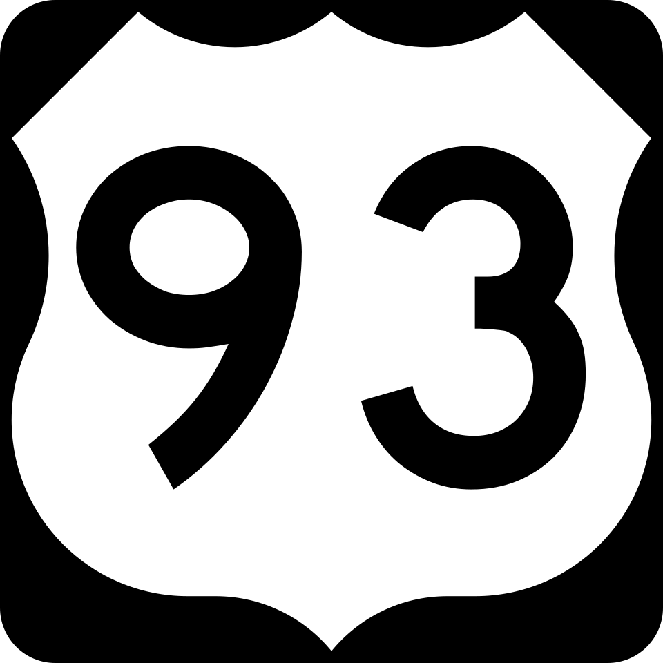
US Route 93
0 exits in Idaho Falls
Connects west from Idaho Falls via the Atomic City corridor to Twin Falls and the Magic Valley dairy belt. Heavy ag and dairy hauler traffic through the desert; remote stretches mean a roadside breakdown can sit a long time without a passing service truck unless dispatch is local.
Idaho State Highway 33
0 exits in Idaho Falls
East-west connector between US-20 east of Idaho Falls and the Teton Valley / Driggs gateway communities. Heavy potato and seed-grain hauler traffic during harvest; winter ice in the Mud Lake stretch is a chronic complaint from drivers.
Idaho Falls ID Trucking & Freight Industry Overview
Idaho Falls is the freight pivot of the Eastern Snake River Plain — Idaho's potato, sugar beet, and seed-grain belt — and the supply gateway to Idaho National Laboratory's 890-square-mile nuclear research complex. I-15 carries the Salt Lake City-to-Butte transcontinental corridor directly through the city, while US-20 funnels Yellowstone-bound tourist freight east toward West Yellowstone and the gateway communities. Winter ice on I-15 between Pocatello and Idaho Falls drops the freight clock to a crawl from late November through March, summer afternoons clear 95°F, and INL contractor freight runs to security-classified schedules.
Idaho Falls is the fourth most populous city in Idaho and the county seat of Bonneville County. It is the state's most populous city outside the Boise metropolitan area. As of the 2020 census, the population of Idaho Falls was 64,818. In the 2010 census, the population of Idaho Falls was 56,813, with a metro population of 133,265. As of the 2020 census, the Idaho Falls Metropolitan Statistical Area had a population of 154,855.
Idaho Falls' freight clock is set by two industries that don't tolerate delay: agriculture and nuclear research. From late August through November, the Eastern Snake River Plain harvest moves Idaho Russet potatoes, sugar beets, and seed-grain through the city by the trainload, with reefer convoys staging continuously at the Pilot in Idaho Falls and the Pocatello TA. Meanwhile, Idaho National Laboratory's 890-square-mile complex out US-20 west of the city runs a security-classified freight schedule — when an INL-bound load loses an air system on the Highway 20 stretch past Atomic City, dispatch isn't to the nearest available wrecker, it's to the network rescuer that already holds INL contractor clearance.
Eastern Idaho's altitude (4,705 feet at the Snake River bridge) plus desert-cold-snap winters means the freight breakdown patterns here look nothing like Boise or Twin Falls. We see weekly cooling-system failures during the harvest-season afternoon temperature swings, fuel-gel calls from Thanksgiving through February when the wind chill drops below 0°F, and brake-fade complaints on the I-15 grade north toward Roberts. Our local mechanics have run this corridor through twenty winters and they know exactly which Cummins block heater plug-in pattern signals a coming cold-soak failure.
Whether you're a Boise-based fleet manager dispatching a potato reefer east toward Salt Lake City, an owner-operator hauling Yellowstone tourist supplies up US-20 in July, or an INL contractor moving classified equipment off the desert site, the closest verified Road Rescue Network rescuer in Idaho Falls reaches you on a single call. Dispatch, ETA, photo updates, and consolidated invoicing run through RRN's 24/7 ops team, and our INL-cleared rescuers handle escort coordination directly.