Alexandria, LA.
Alexandria is the geographic center of Louisiana and the I-49 / US-71 freight pivot between Shreveport, Lafayette, and Baton Rouge. The metro carries Fort Johnson Army (Joint Readiness Training Center) supply convoys, central Louisiana agricultural freight (cotton, sugarcane, soybeans, sweet potatoes), and the storm-surge spillover that runs north from the Gulf coast every hurricane season. The Alexandria International Airport / former England Air Force Base is now a multimodal industrial park anchoring contract logistics for the I-49 corridor.
Every roadside service we run in Alexandria
Featured Alexandria Service Providers
Insurance-current network vendors with verified compliance, equipment, and live availability status.
Red River Mobile Truck Repair
- 24/7 dispatch
- Fleet of 7
- 11 years in business
- Insurance verified
Cenla Commercial Tire & Service
- 24/7 dispatch
- Fleet of 5
- 10 years in business
- Insurance verified
MacArthur 24/7 Roadside
- 24/7 dispatch
- Fleet of 8
- 8 years in business
- Insurance verified
Alexandria LA Freight Corridors & Interstate Service Coverage
Each corridor has a dedicated breakdown landing page with service zones, exits, and recent dispatched jobs.
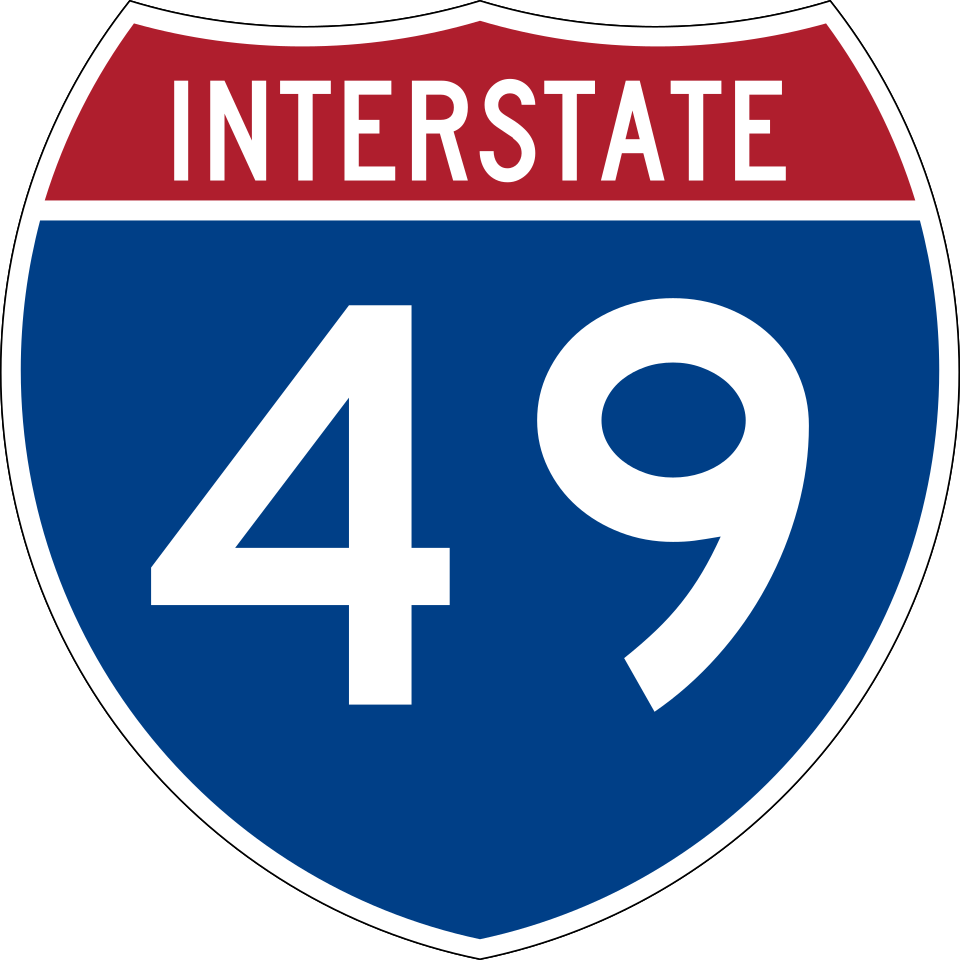
Interstate 49
6 exits in Alexandria
The Shreveport-to-Lafayette freight corridor running north-south through the heart of Alexandria. Heaviest service-call volume between Exit 86 (MacArthur Drive) and Exit 80 (US-167 Pineville Expressway); cooling-system failures spike on the Red River bridge climbs every July and August.
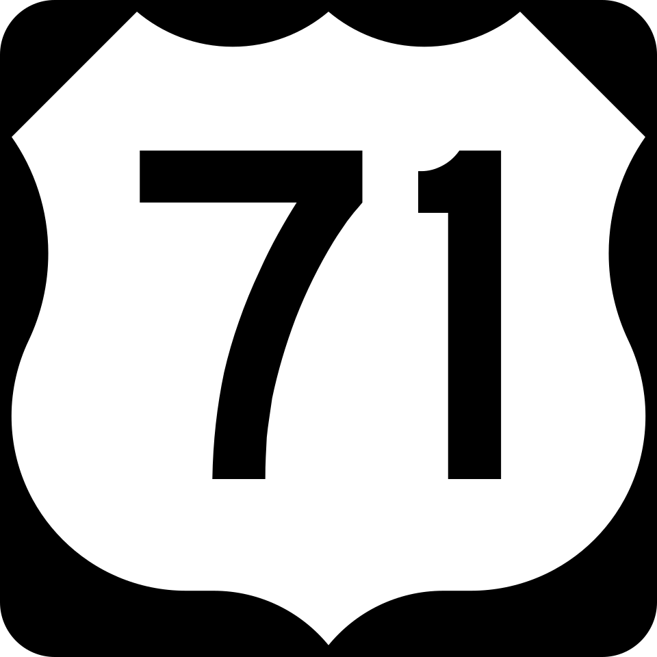
US Route 71
8 exits in Alexandria
The historic central Louisiana corridor running north-south parallel to I-49 from Shreveport through Alexandria toward Bunkie and Baton Rouge. Carries agricultural freight from cotton gins and sugarcane operations; serves as the standard I-49 detour during hurricane evacuation contraflow.

US Route 165
5 exits in Alexandria
The Monroe-to-Lake Charles diagonal cutting east-west through Alexandria across the Red River bridges. Heavy lumber and pulpwood traffic from the Roy O. Martin and Weyerhaeuser yards; the Curtis Boulevard interchange in Pineville is a common service-call cluster.
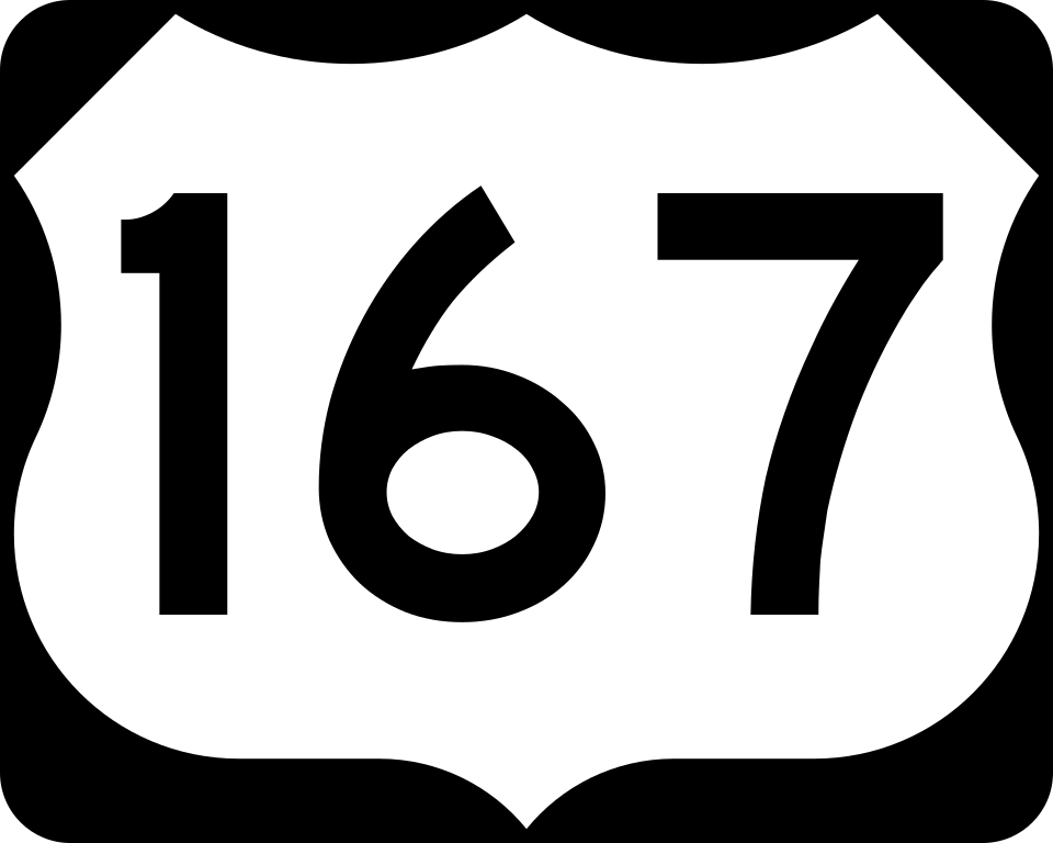
US Route 167
4 exits in Alexandria
The Lafayette-to-Ruston corridor concurrent with I-49 through Alexandria, splitting north of the metro toward Pineville and Olla. Carries Fort Johnson Army inbound supply traffic; the Pineville Expressway split is a daily dispatch zone.

Louisiana Highway 28
4 exits in Alexandria
The east-west state route from Alexandria toward Leesville and Fort Johnson. Carries the bulk of the Joint Readiness Training Center supply traffic; convoy dispatch through the LA-28 / US-167 cloverleaf is a routine coordination zone.
MacArthur Drive (US-71/US-167 Bypass)
7 exits in Alexandria
The Alexandria inner-loop bypass carrying US-71 and US-167 around the downtown core. Heavy box-truck and contract-distribution volume into the England Industrial Airpark and the Procter & Gamble Pineville plant; the I-49 Exit 86 interchange is the metro's busiest service zone.
Alexandria LA Trucking & Freight Industry Overview
Alexandria is the geographic center of Louisiana and the I-49 / US-71 freight pivot between Shreveport, Lafayette, and Baton Rouge. The metro carries Fort Johnson Army (Joint Readiness Training Center) supply convoys, central Louisiana agricultural freight (cotton, sugarcane, soybeans, sweet potatoes), and the storm-surge spillover that runs north from the Gulf coast every hurricane season. The Alexandria International Airport / former England Air Force Base is now a multimodal industrial park anchoring contract logistics for the I-49 corridor.
Alexandria is the ninth-largest city in the state of Louisiana and is the parish seat of and the largest city in Rapides Parish, Louisiana, United States. It lies on the south bank of the Red River in almost the exact geographic center of the state. It is the principal city of the Alexandria metropolitan area which encompasses all of Rapides and Grant parishes. Its neighboring city is Pineville. As of the 2020 census, Alexandria had a population of 45,275.
Alexandria sits at the geographic dead-center of Louisiana, where I-49 cuts north-south from Shreveport to Lafayette and US-71 carries the legacy north-south corridor from the Arkansas line to the Mississippi River bottoms. The Red River cuts the metro between Alexandria and Pineville, and the river bridges along US-165 and US-167 are routine breakdown clusters when summer humidity stresses cooling systems on a loaded Class 8. Road Rescue Network's Alexandria vendors handle this central Louisiana terrain every day.
Anyone who's dispatched a truck through Alexandria during hurricane season knows the call volume changes overnight. When a named storm spins up in the Gulf, US-71 and I-49 north of the metro turn into evacuation arteries running double-direction contraflow, and the staging area at England Industrial Airpark fills with fuel tankers, generator haulers, and pole-line trucks heading south. Our local mechanics carry storm-prep kits, mobile fuel transfer rigs, and the dispatcher relationships with Louisiana State Police Troop E that make hurricane-corridor service possible.
When a Class 8 truck breaks down on I-49 northbound at the MacArthur Drive interchange in a Louisiana August afternoon, the cab climbs past 130°F before the air-conditioning catches up and the cooling fan duty cycles peg at 100%. Alexandria summer humidity sits above 80% from May through September, and DPF regen failures, charge-air-cooler leaks, and water-pump complaints cluster around the I-49 / US-167 junction at Pineville. Whether you're a fleet manager dispatching from Houston with a truck stranded at the Procter & Gamble Pineville plant gate, or an owner-operator on US-71 toward Bunkie, the closest verified Road Rescue Network vendor is reached through a single call.