Texarkana, TX.
Texarkana is the only metro in the United States where a state line runs through the middle of downtown, and the freight implications are unique: I-30 from Dallas hands off to I-30 east toward Little Rock at the AR line, while I-49 north toward Fort Smith ties the Texas-Arkansas border into the Mid-South freight web. The Red River Army Depot east of the metro generates Department of Defense supply convoys; lumber, paper, and pulpwood haulers from the East Texas pine belt move north through the I-49 corridor; and a constant flow of Walmart inbound DC freight ties Bowie County into the Bentonville supply chain.
Every roadside service we run in Texarkana
Featured Texarkana Service Providers
Insurance-current network vendors with verified compliance, equipment, and live availability status.
Twin Cities Mobile Truck Repair
- 24/7 dispatch
- Fleet of 7
- 12 years in business
- Insurance verified
Ark-La-Tex Commercial Tire & Service
- 24/7 dispatch
- Fleet of 6
- 11 years in business
- Insurance verified
Depot 24/7 Roadside
- 24/7 dispatch
- Fleet of 8
- 9 years in business
- Insurance verified
Texarkana TX Freight Corridors & Interstate Service Coverage
Each corridor has a dedicated breakdown landing page with service zones, exits, and recent dispatched jobs.
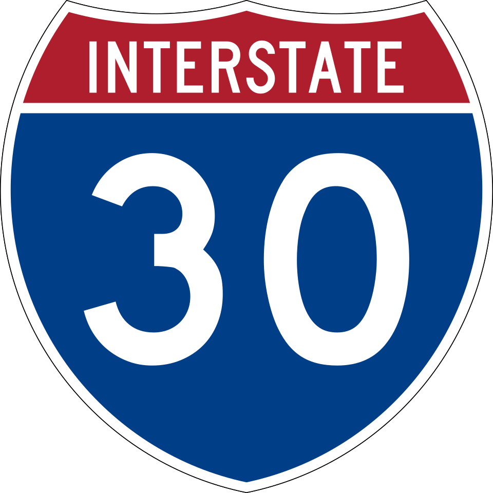
Interstate 30
8 exits in Texarkana
The Dallas-to-Little Rock freight backbone running east-west through Texarkana and across the Arkansas state line. Heaviest service-call volume between Exit 220 (I-49 / US-71) and Exit 224 (Mall Drive); the Red River bridge eastbound is a recurring ice-event recovery zone every winter.
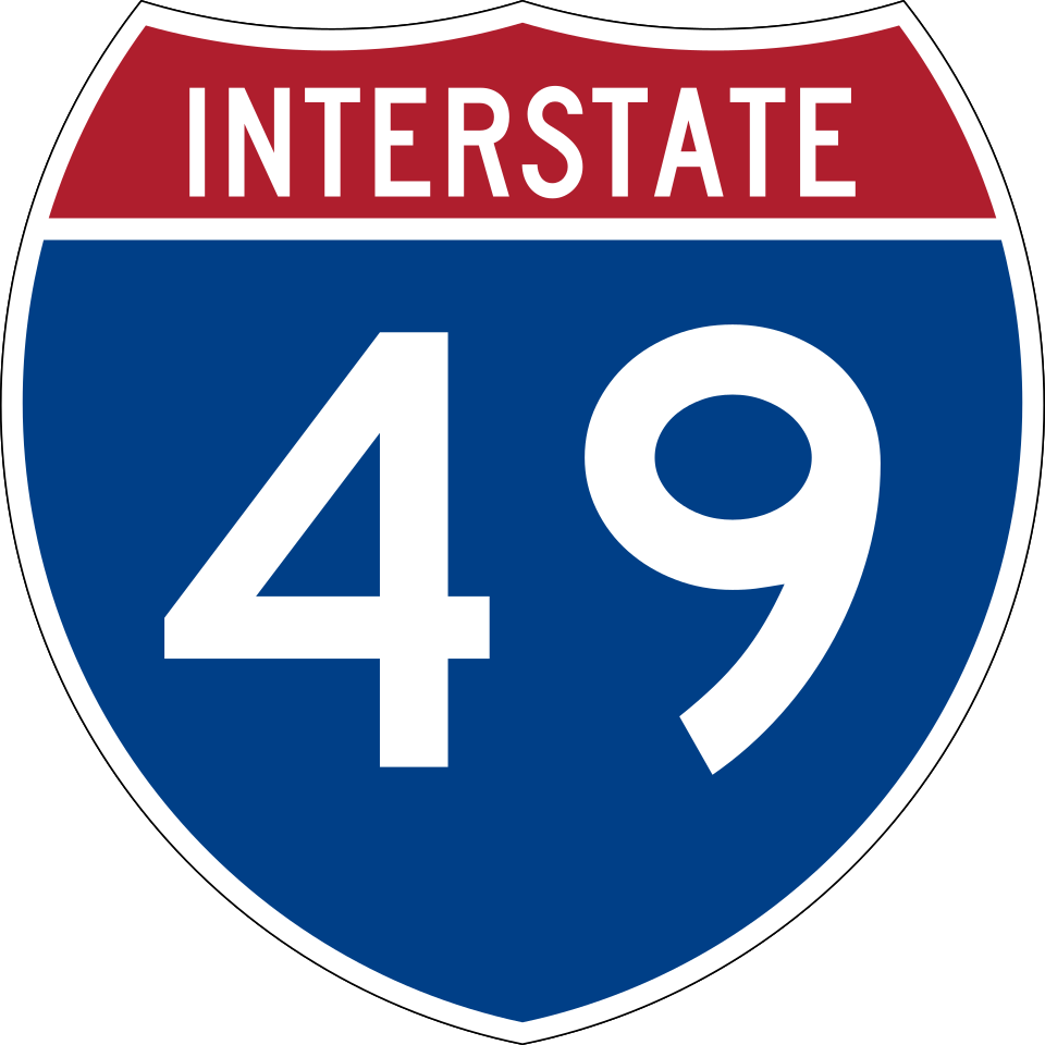
Interstate 49
4 exits in Texarkana
The Texarkana-to-Fort Smith corridor running north from the I-30 interchange through Fouke and De Queen. Carries lumber, pulpwood, and contract-distribution freight from the Mid-South pine belt; the descent into the Red River valley from Fouke is a routine brake-fade call zone.
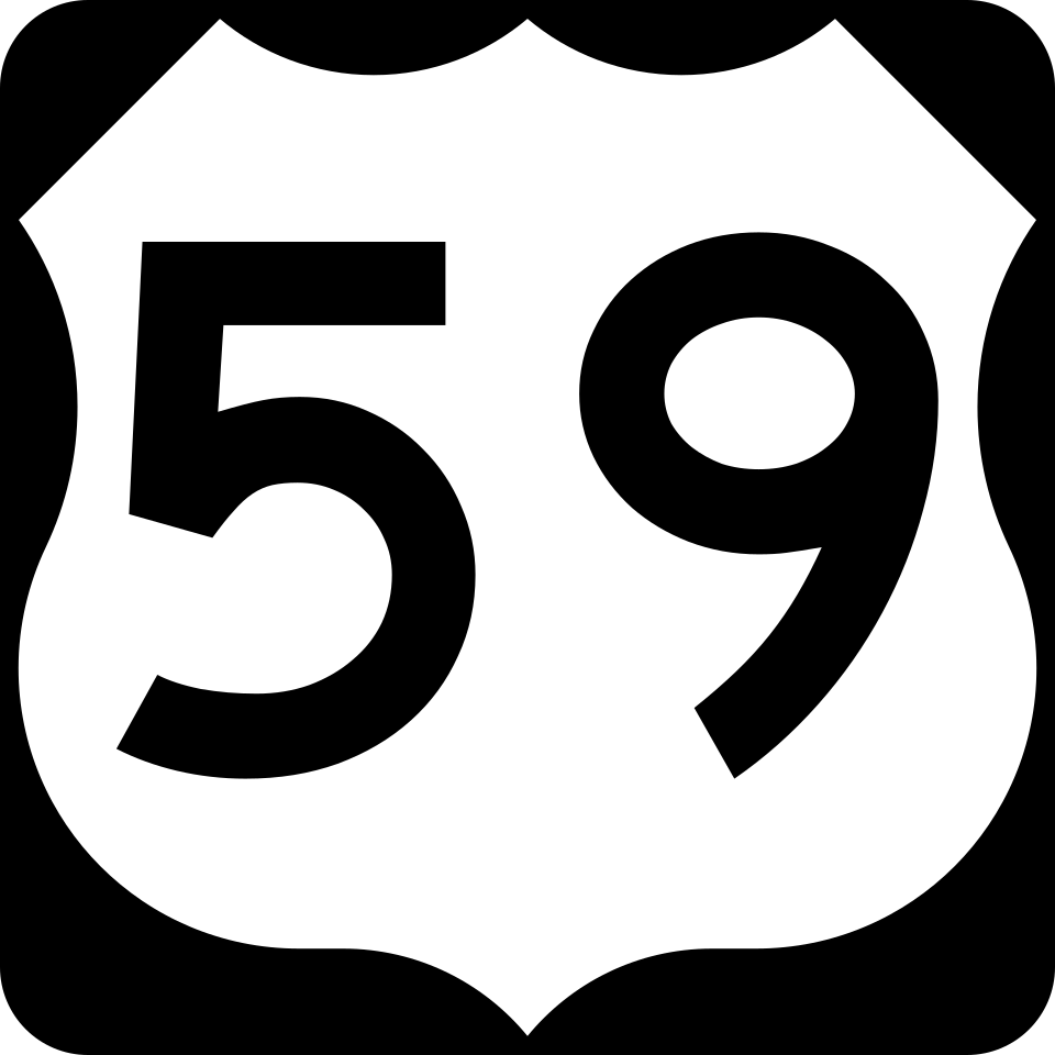
US Route 59
6 exits in Texarkana
The Future I-369 corridor running north-south through Texarkana toward Atlanta TX and the Sabine River. Carries East Texas oilfield supply, lumber from the pine belt, and DeKalb agricultural freight; the I-30 / US-59 interchange at Exit 222 is a daily dispatch zone.

US Route 67
7 exits in Texarkana
The Dallas-to-Little Rock historic corridor concurrent with I-30 through Texarkana, splitting east toward Hope and Prescott. Carries Arkansas DC drayage and serves as the standard I-30 detour during Red River bridge ice closures.
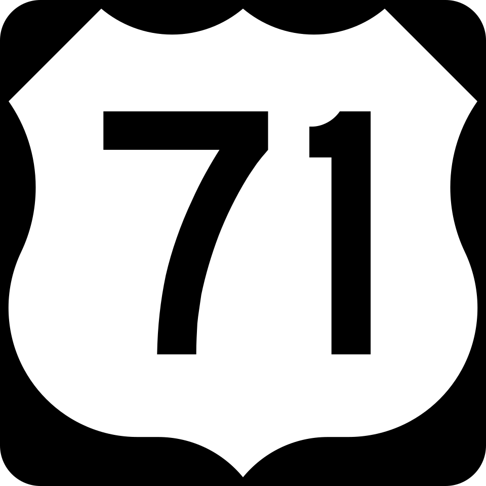
US Route 71
5 exits in Texarkana
The Mid-South north-south corridor concurrent with I-49 from Texarkana toward Fort Smith. Carries Walmart inbound DC traffic from the Bentonville supply chain and Mid-South paper-mill outbound; the State Line Avenue split downtown is a heavy box-truck dispatch zone.

US Route 82
4 exits in Texarkana
The east-west southern-tier corridor from Texarkana through Magnolia AR and Eldorado toward El Dorado. Carries Cooper Tire plant inbound supply and southwest Arkansas oilfield traffic; the US-82 / US-71 interchange in central Texarkana is a routine dispatch zone.
Texarkana TX Trucking & Freight Industry Overview
Texarkana is the only metro in the United States where a state line runs through the middle of downtown, and the freight implications are unique: I-30 from Dallas hands off to I-30 east toward Little Rock at the AR line, while I-49 north toward Fort Smith ties the Texas-Arkansas border into the Mid-South freight web. The Red River Army Depot east of the metro generates Department of Defense supply convoys; lumber, paper, and pulpwood haulers from the East Texas pine belt move north through the I-49 corridor; and a constant flow of Walmart inbound DC freight ties Bowie County into the Bentonville supply chain.
Texarkana is a city in Bowie County, Texas, United States, in the Ark-La-Tex region. Located approximately 180 miles (290 km) from Dallas, Texarkana is a twin city with neighboring Texarkana, Arkansas. The Texas city's population was 36,193 at the 2020 census.
Texarkana sits on a literal state line that runs north-south through downtown, and the I-30 / I-49 freight pivot east of the central business district pulls traffic from four major freight regions at once: Dallas-Fort Worth metroplex outbound, Little Rock and Memphis inbound, the Shreveport / Lafayette I-49 corridor northbound, and the East Texas pine-belt lumber haulers heading toward Mid-South paper mills. Service-call clusters concentrate at the I-30 / I-49 interchange (Exit 220), at the State Line Avenue corridor through downtown, and around the Red River Army Depot east gate at FM-3068. Road Rescue Network's Texarkana vendors work this two-state freight pattern every day.
The mechanics in Texarkana who handle heavy-duty calls know the rhythm changes when an Arctic front pushes south and the Red River bottoms ice over before TxDOT or ArDOT can pre-treat the bridges. The I-30 Red River bridge between Texarkana and the Arkansas line is a recurring multi-vehicle skid zone in January and February, and the southbound descent on I-49 from Fouke into Texarkana is a brake-fade call cluster every winter. Our local mechanics carry chains, salt-rated brake-line de-icer, and the cross-state dispatcher relationships with Texas DPS and Arkansas State Police that make state-line incident response possible.
When a Class 8 truck breaks down on I-30 westbound at the State Line Avenue exit during a Texarkana August afternoon, the cab climbs past 130°F before the AC catches up and the cooling fan duty cycles peg at 100%. Texarkana summer humidity hovers in the 75-85% range from May through September, and the combination of saturated air and 95°F+ ambients drives DPF regen failures and CAC clamp pop-offs at the Red River Army Depot supply corridor and along the Cooper Tire plant entrance road. Whether you're a fleet manager dispatching from Dallas with a tractor stranded at the Domtar Ashdown paper mill, an owner-operator on US-59 toward Atlanta TX, or a contract carrier on US-71 north toward De Queen, the closest verified Road Rescue Network vendor is reached through a single phone call.