Palo Alto, CA.
Palo Alto is a city of 65,882 in Santa Clara County, California, inside the San Jose-Sunnyvale-Santa Clara, CA Metro Area. I-280 runs through the Palo Alto area east-west between San Francisco, CA and San Jose, CA, and US-101 and CA-82 carry the rest of the truck volume. Road Rescue Network dispatches insurance-verified mobile truck repair, heavy-duty towing, commercial tire service, and 24/7 roadside assistance across Palo Alto and the surrounding Santa Clara County corridors, with the nearest network coverage rings running through Los Altos Hills, CA (1 miles) and out to San Francisco, CA (30 miles).
Every roadside service we run in Palo Alto
Truck repair and towing in Palo Alto, CA
Palo Alto sits where I-280, US-101, and CA-82 meet, which is why most breakdown calls here come off a highway rather than a side street. A truck stopped on one of those is a traffic problem before it is a repair problem, so the first thing our dispatcher asks is which road you are on and which way you are pointed.
The trucks that cover Palo Alto also run Los Altos Hills, Los Altos, Stanford, and San Jose, out to about 30 miles at San Francisco. So a call from the edge of Santa Clara County reaches the same people as one from the middle of town, and you are not handed off to a different dispatcher because of a county line.
What makes Palo Alto different
A city on a county corner, with a creek for a boundary
Palo Alto sits in the northwestern corner of Santa Clara County, and San Francisquito Creek is the line. Cross the creek on El Camino Real, Alma Street or University Avenue and you are in Menlo Park and San Mateo County, with no change in the street name at the bridge. East Palo Alto is a separate city on the far side of US-101. At the southern end, San Antonio Road is the Mountain View edge, and Los Altos and Los Altos Hills press in against the foothills. Much of Stanford, including the hospital campus and the research park buildings, is unincorporated land carrying a Palo Alto mailing address. A driver who reports being in Palo Alto may be standing in any one of several jurisdictions, which is why the cross street and the side of the creek or freeway matter more here than the city name.
The Caltrain corridor splits the town lengthwise
The railway runs the full length of the city alongside Alma Street, and the ways across it can be counted on one hand. University Avenue, Embarcadero Road and Oregon Expressway pass under the tracks in underpasses with structure overhead and kerbs tight to the lane. Churchill Avenue, East Meadow Drive and Charleston Road cross at grade with gates. A commercial vehicle stopped on one of those crossings is not just a traffic problem; it stands in front of a commuter line that runs trains through most of the day, which changes who arrives and how quickly the road is shut. Alma has almost no verge, with ballast on one side and driveways on the other. Height-sensitive and long units moving between the bay flats and El Camino tend to rely on only two or three workable crossings.
Page Mill above 280 is a different job from Page Mill below it
Below I-280, Page Mill Road is a wide arterial serving the research park and the Oregon Expressway rung. Above the interchange it narrows to two lanes with no shoulder and climbs past Arastradero, the foothill preserves and open hillside toward Skyline Boulevard. There are blind bends where a tractor-trailer has nowhere to turn and nowhere to be passed, and unguarded drops in places. The traffic up there is hillside construction, water and fire crews, weekend cyclists in large numbers, and the occasional delivery that followed a map rather than a route. Fog sits on the ridge late and early. A breakdown on upper Page Mill, Moody Road or the Alpine Road side is a mountain recovery that happens to carry a Palo Alto address, and the direction of approach shapes the whole call.
Our address reads Stanford, CA. Is that inside this coverage area?
Yes. The campus, the medical centre off Sand Hill Road and the research park buildings along Page Mill and Hanover are worked by the same rescuers who cover the city. Much of that land is unincorporated Santa Clara County, so the mailing city and the jurisdiction on the ground are not always the same thing.
Why does dispatch ask which side of San Francisquito Creek I am on?
The creek is both the city and the county line. The same roadway continues north into Menlo Park and San Mateo County without changing name. Naming the bridge or the nearest cross street settles which agency has the road and whether the call sits in Palo Alto at all.
Is there a truck stop or terminal yard in Palo Alto to wait in?
No. There is no distribution park or truck stop inside the city limits. Commercial traffic here is delivery, service and construction work, so calls tend to come from kerbside on El Camino Real, from the expressway trench or from a freeway shoulder rather than from a lot with room to stand.
Be the First Mobile Truck Repair Rescuer in Palo Alto
Road Rescue Network is actively recruiting verified mobile truck repair providers in the Palo Alto metro. Heavy traffic, real fleet leads, no auction race-to-the-bottom, straight rescuer-to-customer dispatch with confirmed pricing.
BECOME A RESCUER IN THIS AREA
We send Palo Alto mobile truck repair calls directly to verified rescuers in your service radius. Apply once. Insurance & DOT verified. Live dispatch, fleet accounts, transparent pricing, no motor-club shave-down.
- Insurance & DOT verified network
- Someone answers, day or night
- Direct fleet leads, no third-party shave
- Single onboarding application, fully automated
Palo Alto CA Freight Corridors & Interstate Service Coverage
Each corridor has a dedicated breakdown landing page with service zones, exits, and recent dispatched jobs.
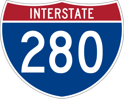
Interstate 280
2 exits in Palo Alto
Interstate 280 is the limited-access freight spine serving Palo Alto. About 28.5 corridor miles fall inside the Palo Alto service radius running east-west between San Francisco, CA and San Jose, CA. Breakdowns on this stretch are worked around the clock by rescuers staged in and around Santa Clara County.
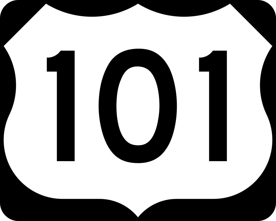
US Route 101
3 exits in Palo Alto
US Route 101 carries regional and through truck traffic across Palo Alto, roughly 23.0 miles of it inside the Palo Alto service radius running north-south between San Jose, CA and San Francisco, CA. It is the route most local and regional freight uses when it is not on the Interstate system.
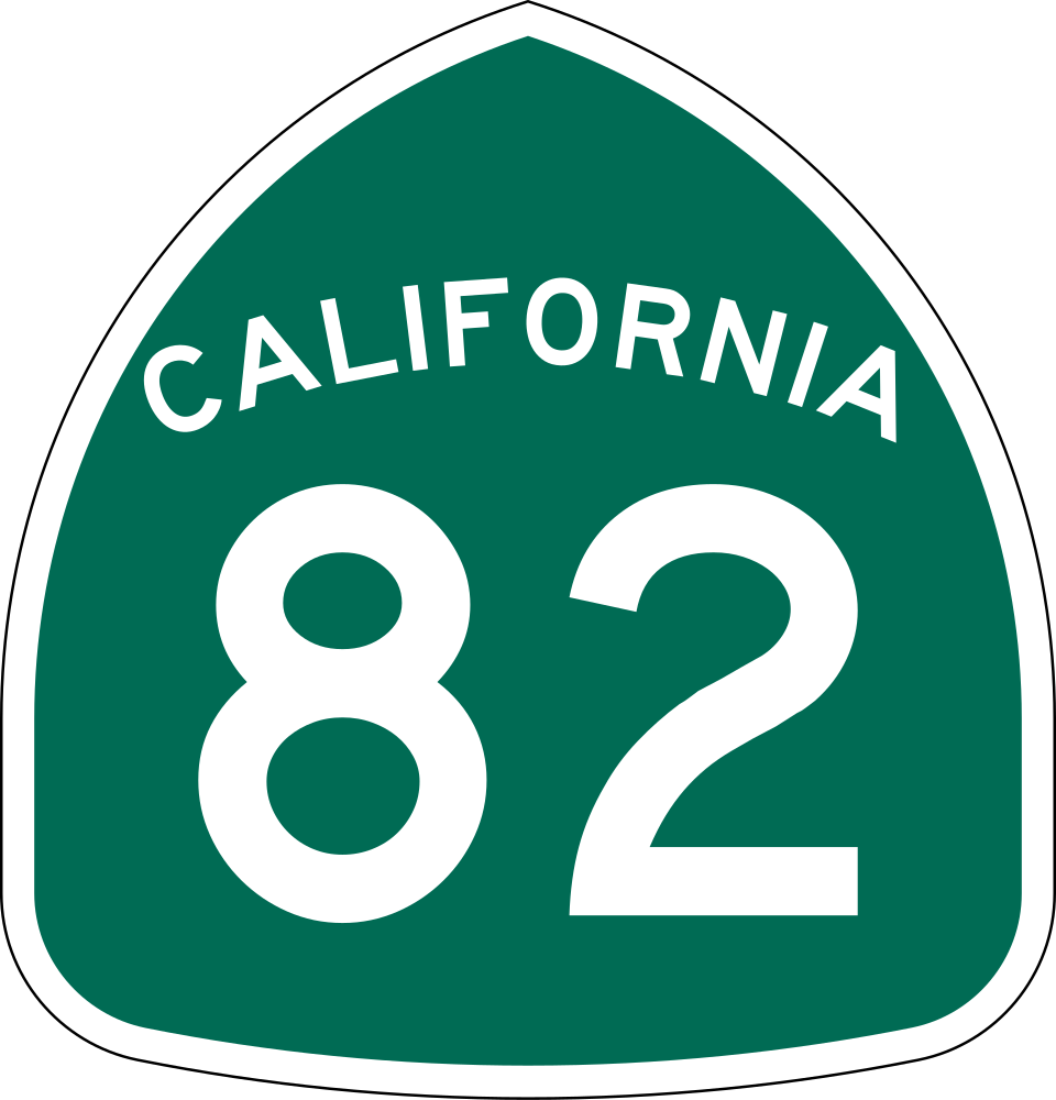
California Route 82
2 exits in Palo Alto
California Route 82 is a Santa Clara County connector through Palo Alto, about 26.3 miles of it inside the city's service radius running east-west between San Francisco, CA and San Jose, CA. State-route calls skew toward local delivery, construction, and agricultural equipment.
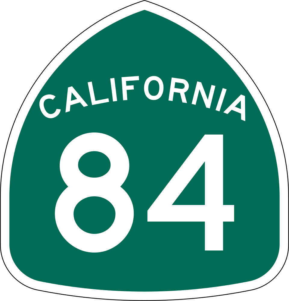
California Route 84
4 exits in Palo Alto
California Route 84 is a Santa Clara County connector through Palo Alto, about 19.4 miles of it inside the city's service radius running north-south toward Sacramento, CA. State-route calls skew toward local delivery, construction, and agricultural equipment.
California Route 85
3 exits in Palo Alto
California Route 85 is a Santa Clara County connector through Palo Alto, about 10.9 miles of it inside the city's service radius running east-west toward San Jose, CA. State-route calls skew toward local delivery, construction, and agricultural equipment.
Palo Alto CA Trucking & Freight Industry Overview
Palo Alto sits where I-280, US-101, and CA-82 meet, which is why most breakdown calls here come off a highway rather than a side street. A truck stopped on one of those is a traffic problem before it is a repair problem, so the first thing our dispatcher asks is which road you are on and which way you are pointed.
The trucks that cover Palo Alto also run Los Altos Hills, Los Altos, Stanford, and San Jose, out to about 30 miles at San Francisco. So a call from the edge of Santa Clara County reaches the same people as one from the middle of town, and you are not handed off to a different dispatcher because of a county line.
Palo Alto Truck Repair & Towing FAQ. Pricing, Coverage & Response Time
How fast can a service truck reach me in Palo Alto, CA?
Response time across Palo Alto typically runs 35-45 minutes for mobile truck repair and heavy-duty towing, faster inside the built-up core and longer on the outlying Santa Clara County stretches.
Which highways around Palo Alto do you cover?
I-280, US-101, CA-82, CA-84 and CA-85 are all inside the Palo Alto service area. I-280 is the heaviest corridor here, with roughly 28.5 miles inside the city's service radius. Rescuers dispatch to any point on those routes 24/7.
Do you cover the towns around Palo Alto?
Yes. The Palo Alto dispatch area extends through Los Altos Hills, CA, Los Altos, CA, Stanford, CA, San Jose, CA, Oakland, CA and the rest of Santa Clara County. Same phone number, same rescuer pool, same 24/7 coverage.
Are rescuers in Palo Alto insurance-verified?
Yes. Every Road Rescue Network rescuer serving Palo Alto maintains current general liability, automobile liability, workers compensation, and where applicable garage-keepers insurance. We re-verify every renewal cycle.
What does a service call cost in Palo Alto, CA?
Service-call dispatch fees in Palo Alto typically run $150-$235 depending on time of day, location, and service type. Heavy-duty towing starts around $475 for in-area moves. Quotes are confirmed before the truck rolls, and there is no after-hours surcharge.
Truck Repair & Towing Coverage Near Palo Alto
Coverage in surrounding cities and metros across the same network of verified rescuers.
Mobile Truck Repair Coverage Across California
The same verified network of providers, dispatched 24/7 across every major California metro and freight corridor.